


Check this page for the latest updates on the Grizzly Creek Fire and links to official information sources for evacuations and closures. Closures now include the area burned by the fire and hiking trails into the burned area, including Hanging Lake, Grizzly Creek and No Name. The Glenwood Canyon Bike Path and other Colorado River recreation areas from Dotsero through Glenwood Canyon to No Name also remain closed.

GENERAL UPDATES (Updated Oct. 25 at 3:21 PM MDT)
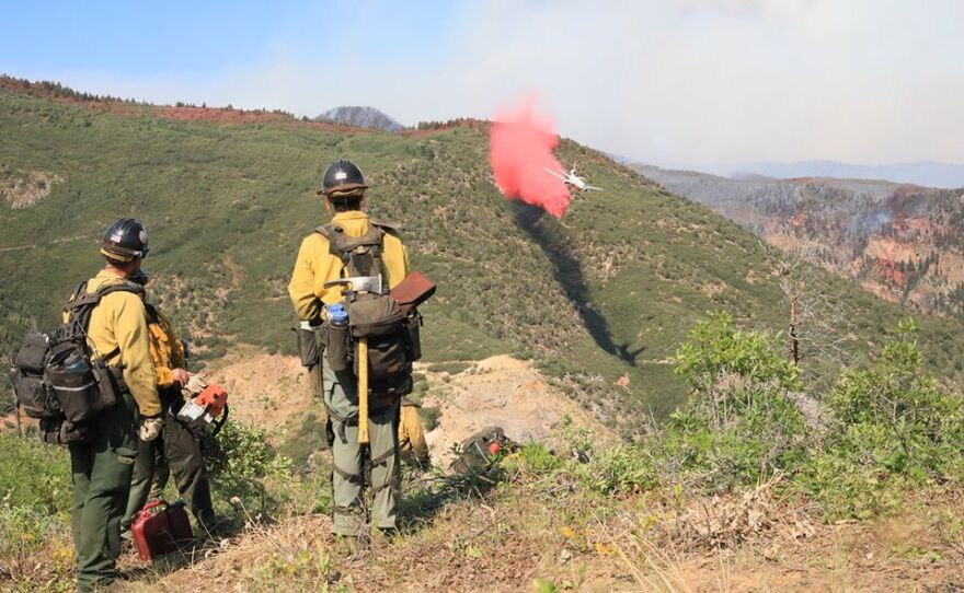
Latest Acreage: 32,631 acres
Containment: 91%
Total Personnel: 50
Fire info Phone Line: (970) 930-1850
Facebook Information Page: facebook.com/GrizzlyCreekFireCO
Incident Webpage: inciweb.nwcg.gov/incident/6942/
Fire Maps: inciweb.nwcg.gov/incident/maps/6942/
Smoke Outlook: https://fires.airfire.org/ara/deployments/WestCentralColorado/outlooks/2020-08-15-WestCentralColorado-Outlook.20200815154336.html
Evacuation Information
- For the latest evacuation information please click here.
- Garfield County residents can sign up for reverse 911 evacuation alerts at GARCO911.COM
- Eagle County residents can sign up for reverse 911 evacuation alerts at ECALERT.ORG

Road Closures
I-70 between Glenwood Springs and Gypsum is open. But, rest areas and the bike path through the canyon are closed. Coffee Pot Road is open but officials urge the public to be mindful of road conditions. Transfer Trail and the Sweetwater Road access to the Flat Tops are open. Independence Pass is open to passenger vehicles only - no semis, camper/trailers, RVs or any vehicle over 35 feet long. Cottonwood Pass is open to local passenger vehicles only.
More closure information is at COTRIP.com

ADDITIONAL UPDATES / NEWS COVERAGE
You can find our news coverage of the fire linked at the bottom of this page or at kdnk.org/term/grizzly-creek-fire


